 vesseltracker.com
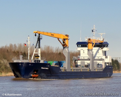
 Beauforce
Current Status
Where is the vessel?
Beauforce is currently in 125 nm S of Quintana, based on AIS data received less than 1h ago.
Latest AIS update:
Current position: 26.95437° N, 94.50639° W (125 nm S of Quintana)
Average speed (last 7 days): Loading…
Average speed (last 30 days): Loading…
Vessel profile: Beauforce is a Multi Purpose Carrier with dimensions 118m x 118m.
This page combines live AIS, route history, probable destination signals, nearby traffic, and port activity for practical vessel monitoring.
The current position of vessel Beauforce is 26.95437 lat / -94.50639 lng. Updated: 2026-04-26 16:18:09 UTCNearest reference points:
- 63 nm SE of Quintana
- 56 nm SE of Quintana
- 49 nm SE of Sheppard
Currently sailing under the flag of Netherlands ![]()
Beauforce built in 2010 year
Deadweight:
8284 tDetails:
Live Vessel Beauforce Analytics (details, animations, etc.)
Recent AIS points (UTC):
2026-04-26 13:22:56 UTC · 26.44887, -94.58553 · SOG 10.5 kn · COG 359°2026-04-26 14:07:15 UTC · 26.57859, -94.57051 · SOG 10.5 kn · COG 357°
2026-04-26 16:04:13 UTC · 26.91434, -94.51310 · SOG 10.3 kn · COG 8°
2026-04-26 16:18:09 UTC · 26.95437, -94.50639 · SOG 10.3 kn · COG 8°