 vesseltracker.com
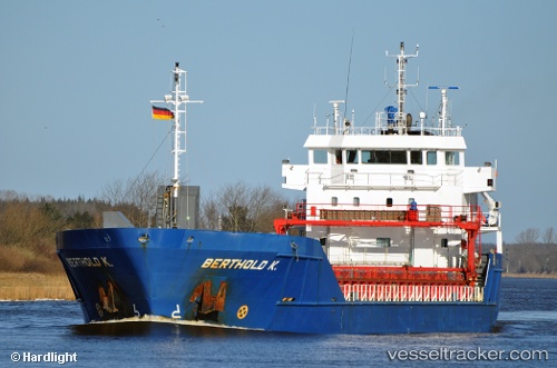
 Berthold K
Current Status
Where is the vessel?
Berthold K is currently in 27 nm E of Formentera Island, based on AIS data received less than 1h ago.
Latest AIS update:
Current position: 38.48500° N, 2.12167° E (27 nm E of Formentera Island)
Average speed (last 7 days): Loading…
Average speed (last 30 days): Loading…
Vessel profile: Berthold K is a Multi Purpose Carrier with dimensions 90m x 15m.
This page combines live AIS, route history, probable destination signals, nearby traffic, and port activity for practical vessel monitoring.
The current position of vessel Berthold K is 38.48500 lat / 2.12167 lng. Updated: 2026-04-28 07:38:31 UTCNearest reference points:
- Near SANTA EULARIA
- Near FORMENTERA
- Near IBIZA
Currently sailing under the flag of Netherlands ![]()
Berthold K built in 2008 year
Deadweight:
4442 tDetails:
Live Vessel Berthold K Analytics (details, animations, etc.)
Recent AIS points (UTC):
2026-04-28 03:41:27 UTC · 38.10500, 1.33333 · SOG 11 kn · COG -1°2026-04-28 04:49:55 UTC · 38.21316, 1.56353 · SOG 10.9 kn · COG 60°
2026-04-28 06:02:29 UTC · 38.32500, 1.80833 · SOG 11 kn · COG -1°
2026-04-28 07:38:31 UTC · 38.48500, 2.12167 · SOG 10 kn · COG -1°