 vesseltracker.com
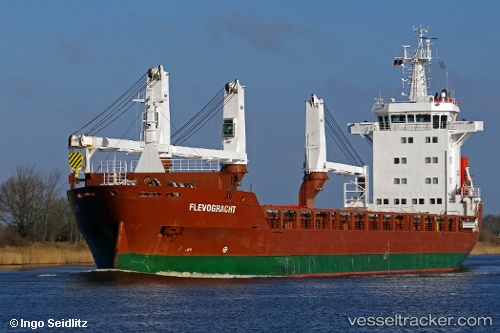
 Flevogracht
Current Status
Where is the vessel?
Flevogracht is currently in 123 nm S of Willow Street, based on AIS data received less than 1h ago.
Latest AIS update:
Current position: 28.93833° N, 76.56667° W (123 nm S of Willow Street)
Average speed (last 7 days): Loading…
Average speed (last 30 days): Loading…
Vessel profile: Flevogracht is a General Cargo Ship with dimensions 136m x 20m.
This page combines live AIS, route history, probable destination signals, nearby traffic, and port activity for practical vessel monitoring.
The current position of vessel Flevogracht is 28.93833 lat / -76.56667 lng. Updated: 2026-04-30 17:59:28 UTCNearest reference points:
- 113 nm NE of Green Turtle Cay
- 75 nm N of Green Turtle Cay
- Near Green Turtle Cay
Currently sailing under the flag of Netherlands ![]()
Flevogracht built in 2011 year
Deadweight:
12500 tDetails:
Live Vessel Flevogracht Analytics (details, animations, etc.)
Recent AIS points (UTC):
2026-04-30 14:02:33 UTC · 29.90167, -76.90167 · SOG 14 kn · COG -1°2026-04-30 16:11:31 UTC · 29.39333, -76.71000 · SOG 15 kn · COG -1°
2026-04-30 16:23:31 UTC · 29.34333, -76.69333 · SOG 15 kn · COG -1°
2026-04-30 17:59:28 UTC · 28.93833, -76.56667 · SOG 15 kn · COG -1°