 vesseltracker.com
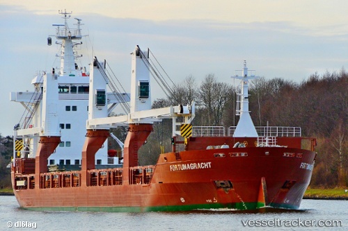
 Fortunagracht
Current Status
Where is the vessel?
Fortunagracht is currently in 21 nm N of Ile D’Ouessant, based on AIS data received about 1d ago.
Latest AIS update:
Current position: 49.01488° N, 5.51972° W (21 nm N of Ile D’Ouessant)
Average speed (last 7 days): Loading…
Average speed (last 30 days): Loading…
Vessel profile: Fortunagracht is a General Cargo Ship with dimensions 137m x 137m.
This page combines live AIS, route history, probable destination signals, nearby traffic, and port activity for practical vessel monitoring.
The current position of vessel Fortunagracht is 49.01488 lat / -5.51972 lng. Updated: 2026-04-10 08:02:57 UTCNearest reference points:
- 18 nm NE of Ile D’Ouessant
- 16 nm NW of Ile D’Ouessant
- 34 nm W of Verzy
Currently sailing under the flag of Netherlands ![]()
Fortunagracht built in 2012 year
Deadweight:
12178 tDetails:
Live Vessel Fortunagracht Analytics (details, animations, etc.)
Recent AIS points (UTC):
2026-04-10 02:36:35 UTC · 49.63195, -3.97664 · SOG 14 kn · COG 240°2026-04-10 04:22:13 UTC · 49.43358, -4.51346 · SOG 13.5 kn · COG 239°
2026-04-10 05:21:54 UTC · 49.31995, -4.80517 · SOG 13.1 kn · COG 236°
2026-04-10 08:02:57 UTC · 49.01488, -5.51972 · SOG 12.8 kn · COG 235°