 vesseltracker.com
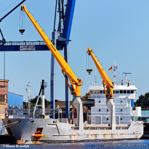
 Bandura
Current Status
Where is the vessel?
Bandura is currently in 50 nm E of Brady, based on AIS data received about 1h ago.
Latest AIS update:
Current position: 48.13167° N, 10.59833° W (50 nm E of Brady)
Average speed (last 7 days): Loading…
Average speed (last 30 days): Loading…
Vessel profile: Bandura is a Multi Purpose Carrier with dimensions 118m x 16m.
This page combines live AIS, route history, probable destination signals, nearby traffic, and port activity for practical vessel monitoring.
The current position of vessel Bandura is 48.13167 lat / -10.59833 lng. Updated: 2026-05-16 10:07:55 UTCNearest reference points:
- 44 nm SE of Brady
- 24 nm N of Aurach Bei Kitzbuhel
Currently sailing under the flag of Netherlands ![]()
Bandura built in 2010 year
Deadweight:
8217 tDetails:
Live Vessel Bandura Analytics (details, animations, etc.)
Recent AIS points (UTC):
2026-05-16 07:10:50 UTC · 47.95667, -11.47500 · SOG 12 kn · COG -1°2026-05-16 07:46:53 UTC · 47.99167, -11.29500 · SOG 12 kn · COG -1°
2026-05-16 10:01:53 UTC · 48.12500, -10.62667 · SOG 12 kn · COG -1°
2026-05-16 10:07:55 UTC · 48.13167, -10.59833 · SOG 12 kn · COG -1°