 vesseltracker.com
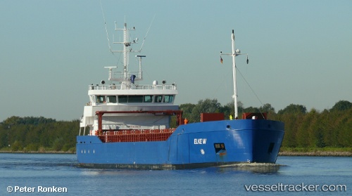
 LAURIERBORG
Current Status
Where is the vessel?
LAURIERBORG is currently in Near Donaghadee, based on AIS data received less than 1h ago.
Latest AIS update:
Current position: 54.71730° N, 5.46183° W (Near Donaghadee)
Average speed (last 7 days): Loading…
Average speed (last 30 days): Loading…
Vessel profile: LAURIERBORG is a General Cargo with dimensions m x m.
This page combines live AIS, route history, probable destination signals, nearby traffic, and port activity for practical vessel monitoring.
The current position of vessel LAURIERBORG is 54.71730 lat / -5.46183 lng. Updated: 2026-04-29 03:37:32 UTCNearest reference points:
- Near Crossgar
- Near Belfast
- Near Southend
Currently sailing under the flag of Netherlands ![]()
Details:
Live Vessel LAURIERBORG Analytics (details, animations, etc.)
Recent AIS points (UTC):
2026-04-28 23:59:03 UTC · 54.16815, -5.46979 · SOG 9.1 kn · COG 25°2026-04-29 01:44:02 UTC · 54.42799, -5.34436 · SOG 9.5 kn · COG 349°
2026-04-29 02:53:54 UTC · 54.61274, -5.40799 · SOG 9.5 kn · COG 346°
2026-04-29 03:37:32 UTC · 54.71730, -5.46183 · SOG 8.8 kn · COG 332°