 vesseltracker.com
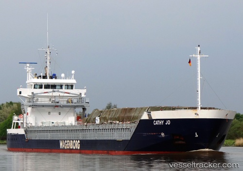
Vessel CATHY JO IMO: 9419278, MMSI: 246996000 General Cargo Ship
UTC, 64.04520, -22.03865, course: 15, speed: 0
UTC, 64.04522, -22.03863, course: 16, speed: 0
2026-03-03 17:53:03 UTC, 64.04522, -22.03866, course: 16, speed: 0
Live AIS position:
UTC. Near Hafnarfjordhur),
updated 2026-03-03 17:53:03 UTC.
Find the position of the vessel CATHY JO on the map. The latter are known coordinates and path.
marine traffic ship tracker show on live map
The current position of vessel CATHY JO is 64.04522 lat / -22.03866 lng. Updated: 2026-03-03 17:53:03 UTCCurrently sailing under the flag of Netherlands
CATHY JO built in 2008 year
Deadweight:
6000 tDetails:
Last coordinates of the vessel:
UTC, 64.04519, -22.03870, course: 15, speed: 0UTC, 64.04520, -22.03865, course: 15, speed: 0
UTC, 64.04522, -22.03863, course: 16, speed: 0
2026-03-03 17:53:03 UTC, 64.04522, -22.03866, course: 16, speed: 0