 vesseltracker.com
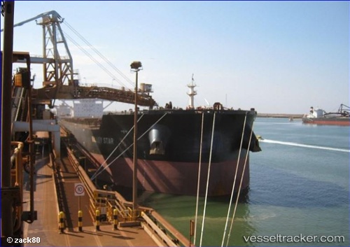
 MORANDI
Current Status
Where is the vessel?
MORANDI is currently in 20 nm W of SEMIRARA, based on AIS data received about 1h ago.
Latest AIS update:
Current position: 12.00137° N, 121.03464° E (20 nm W of SEMIRARA)
Average speed (last 7 days): Loading…
Average speed (last 30 days): Loading…
Vessel profile: MORANDI is a Cargo with dimensions m x m.
This page combines live AIS, route history, probable destination signals, nearby traffic, and port activity for practical vessel monitoring.
The current position of vessel MORANDI is 12.00137 lat / 121.03464 lng. Updated: 2026-05-14 07:47:17 UTCNearest reference points:
- 19 nm NE of CORON
- 12 nm S of Lobo
- Near Lobo
Currently sailing under the flag of Malta ![]()
Details:
Live Vessel MORANDI Analytics (details, animations, etc.)
Recent AIS points (UTC):
2026-05-14 04:26:43 UTC · 12.64995, 120.72990 · SOG 12.8 kn · COG 151°2026-05-14 06:25:53 UTC · 12.26126, 120.92266 · SOG 13 kn · COG 151°
2026-05-14 07:32:12 UTC · 12.05090, 121.01752 · SOG 12.5 kn · COG 159°
2026-05-14 07:47:17 UTC · 12.00137, 121.03464 · SOG 12.5 kn · COG 160°