 vesseltracker.com
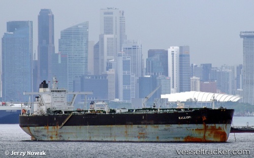
 Kalliopi
Current Status
Where is the vessel?
Kalliopi is currently in 50 nm SW of Dayyer, based on AIS data received about 115d ago.
Latest AIS update:
Current position: 27.47606° N, 51.09422° E (50 nm SW of Dayyer)
Average speed (last 7 days): Loading…
Average speed (last 30 days): Loading…
Vessel profile: Kalliopi is a Crude Oil Tanker with dimensions 330m x 330m.
This page combines live AIS, route history, probable destination signals, nearby traffic, and port activity for practical vessel monitoring.
The current position of vessel Kalliopi is 27.47606 lat / 51.09422 lng. Updated: 2026-01-21 09:01:17 UTCNearest reference points:
- Near Dayyer
- Near Sarooj Anchorage
- 13 nm NE of AL JUBAIL
Currently sailing under the flag of Malta ![]()
Kalliopi built in 2010 year
Deadweight:
296659 tDetails:
Live Vessel Kalliopi Analytics (details, animations, etc.)
Recent AIS points (UTC):
2026-01-21 09:01:17 UTC · 27.47606, 51.09422 · SOG 12.6 kn · COG 134°