 vesseltracker.com
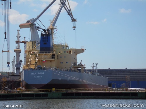
 SAN MARCOS
Current Status
Where is the vessel?
SAN MARCOS is currently in 19 nm SE of Sant Jaume d'Enveja, based on AIS data received less than 1h ago.
Latest AIS update:
Current position: 40.52754° N, 1.06580° E (19 nm SE of Sant Jaume d'Enveja)
Average speed (last 7 days): Loading…
Average speed (last 30 days): Loading…
Vessel profile: SAN MARCOS is a Oil/Chemical Tanker with dimensions m x m.
This page combines live AIS, route history, probable destination signals, nearby traffic, and port activity for practical vessel monitoring.
The current position of vessel SAN MARCOS is 40.52754 lat / 1.06580 lng. Updated: 2026-04-24 16:15:36 UTCNearest reference points:
- 24 nm SW of Sampedor
- Near San Carlos de la Rápita
- 16 nm SW of Sampedor
Currently sailing under the flag of Malta ![]()
Details:
Live Vessel SAN MARCOS Analytics (details, animations, etc.)
Recent AIS points (UTC):
2026-04-24 13:39:57 UTC · 41.05839, 1.20422 · SOG 10.9 kn · COG 190°2026-04-24 14:03:18 UTC · 40.98011, 1.18091 · SOG 12.7 kn · COG 190°
2026-04-24 16:11:17 UTC · 40.54239, 1.06989 · SOG 12.6 kn · COG 191°
2026-04-24 16:15:36 UTC · 40.52754, 1.06580 · SOG 12.6 kn · COG 191°