 vesseltracker.com
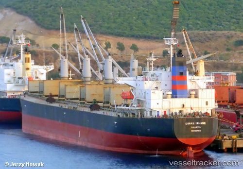
 Coral Island
Current Status
Where is the vessel?
Coral Island is currently in Near Sipitang, based on AIS data received about 2h ago.
Latest AIS update:
Current position: 5.03760° N, 115.49990° E (Near Sipitang)
Average speed (last 7 days): Loading…
Average speed (last 30 days): Loading…
Vessel profile: Coral Island is a Bulk Carrier with dimensions 189m x 33m.
This page combines live AIS, route history, probable destination signals, nearby traffic, and port activity for practical vessel monitoring.
The current position of vessel Coral Island is 5.03760 lat / 115.49990 lng. Updated: 2026-04-30 11:39:57 UTCNearest reference points:
- Near Kota Kinabalu
- 44 nm SW of Tembungo
- Near Kikeh
Currently sailing under the flag of Malta ![]()
Coral Island built in 2006 year
Deadweight:
55699 tDetails:
Live Vessel Coral Island Analytics (details, animations, etc.)
Recent AIS points (UTC):
2026-04-29 07:27:58 UTC · 5.03757, 115.49988 · SOG 0 kn · COG 315°2026-04-29 07:27:58 UTC · 5.03757, 115.49988 · SOG 0 kn · COG 315°
2026-04-29 07:27:58 UTC · 5.03757, 115.49988 · SOG 0 kn · COG 315°
2026-04-30 11:39:57 UTC · 5.03760, 115.49990 · SOG 0 kn · COG 315°