 vesseltracker.com
 PUNTA
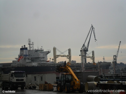
PUNTA
Current Status
Where is the vessel?
PUNTA is currently in Near TEKIRDAG, based on AIS data received less than 1h ago.
Latest AIS update:
Current position: 40.95438° N, 27.56055° E (Near TEKIRDAG)
Average speed (last 7 days): Loading…
Average speed (last 30 days): Loading…
Vessel profile: PUNTA is a Bulk Carrier with dimensions m x m.
This page combines live AIS, route history, probable destination signals, nearby traffic, and port activity for practical vessel monitoring.
The current position of vessel PUNTA is 40.95438 lat / 27.56055 lng. Updated: 2026-04-28 00:17:38 UTCNearest reference points:
- Near TEKIRDAG
- Near Saraylar
- Near Sarköy
Currently sailing under the flag of Malta ![]()
Details:
Live Vessel PUNTA Analytics (details, animations, etc.)
Recent AIS points (UTC):
2026-04-27 19:59:40 UTC · 40.95428, 27.56050 · SOG 0.1 kn · COG 85°2026-04-27 21:29:40 UTC · 40.95470, 27.56065 · SOG 0 kn · COG 104°
2026-04-27 22:35:39 UTC · 40.95488, 27.56072 · SOG 0 kn · COG 110°
2026-04-28 00:17:38 UTC · 40.95438, 27.56055 · SOG 0 kn · COG 89°