 vesseltracker.com
 MB PINTO
Current Status
Where is the vessel?
MB PINTO is currently in Near Floriana, based on AIS data received about 1h ago.
Latest AIS update:
Current position: 35.87853° N, 14.50093° E (Near Floriana)
Average speed (last 7 days): Loading…
Average speed (last 30 days): Loading…
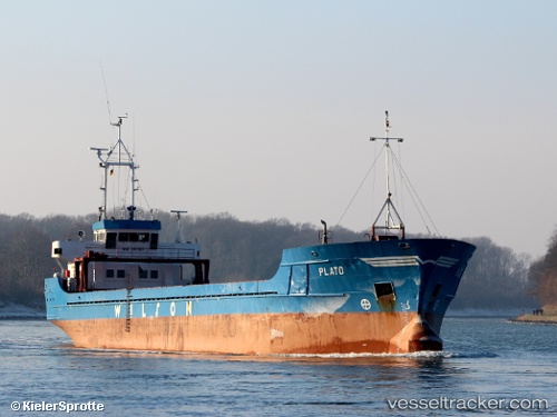
Vessel profile: MB PINTO is a General Cargo with dimensions m x m.
This page combines live AIS, route history, probable destination signals, nearby traffic, and port activity for practical vessel monitoring.
The current position of vessel MB PINTO is 35.87853 lat / 14.50093 lng. Updated: 2026-05-14 20:01:19 UTCNearest reference points:
- Near Floriana
- Near Sliema
- Near Valletta
Currently sailing under the flag of Malta ![]()
Details:
Live Vessel MB PINTO Analytics (details, animations, etc.)
Recent AIS points (UTC):
2026-05-14 16:19:18 UTC · 35.87853, 14.50094 · SOG 0 kn · COG 207°2026-05-14 17:22:18 UTC · 35.87853, 14.50092 · SOG 0 kn · COG 206°
2026-05-14 19:43:20 UTC · 35.87853, 14.50092 · SOG 0 kn · COG 206°
2026-05-14 20:01:19 UTC · 35.87853, 14.50093 · SOG 0 kn · COG 206°