 vesseltracker.com
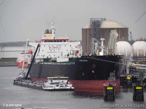
 TIGANI
Current Status
Where is the vessel?
TIGANI is currently in Near Burgas, based on AIS data received less than 1h ago.
Latest AIS update:
Current position: 42.49322° N, 27.55657° E (Near Burgas)
Average speed (last 7 days): Loading…
Average speed (last 30 days): Loading…
Vessel profile: TIGANI is a Tanker with dimensions m x m.
This page combines live AIS, route history, probable destination signals, nearby traffic, and port activity for practical vessel monitoring.
The current position of vessel TIGANI is 42.49322 lat / 27.55657 lng. Updated: 2026-05-15 19:27:08 UTCNearest reference points:
- Near Beloslav
- Near Ignatievo
- Near Varna
Currently sailing under the flag of Malta ![]()
Details:
Live Vessel TIGANI Analytics (details, animations, etc.)
Recent AIS points (UTC):
2026-05-15 17:03:06 UTC · 42.49400, 27.55703 · SOG 0 kn · COG 133°2026-05-15 18:15:17 UTC · 42.49384, 27.55691 · SOG 0 kn · COG 125°
2026-05-15 19:21:26 UTC · 42.49324, 27.55659 · SOG 0 kn · COG 106°
2026-05-15 19:27:08 UTC · 42.49322, 27.55657 · SOG 0 kn · COG 105°