 vesseltracker.com
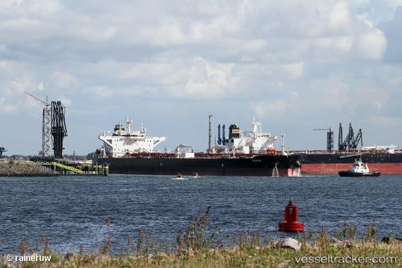
Waikiki
Current StatusWhere is the vessel?
Waikiki is currently in Near Psará, based on AIS data received less than 1h ago.
Latest AIS update:
Current position: 38.59230° N, 25.40005° E (Near Psará)
Average speed (last 7 days): Loading…
Average speed (last 30 days): Loading…
Vessel profile: Waikiki is a Crude Oil Tanker with dimensions 44m x 250m.
This page combines live AIS, route history, probable destination signals, nearby traffic, and port activity for practical vessel monitoring.
The current position of vessel Waikiki is 38.59230 lat / 25.40005 lng. Updated: 2026-04-17 03:48:54 UTCNearest reference points:
- 28 nm NW of Psará
- 29 nm SW of Sigri Lesvou
- 16 nm E of Skíros
Details:
Live Vessel Waikiki Analytics (details, animations, etc.)
Recent AIS points (UTC):
2026-04-16 22:22:04 UTC · 37.68286, 25.39705 · SOG 9.9 kn · COG 6°2026-04-17 00:17:54 UTC · 38.00383, 25.40103 · SOG 9.8 kn · COG 0°
2026-04-17 02:42:04 UTC · 38.40731, 25.40294 · SOG 9.7 kn · COG 358°
2026-04-17 03:48:54 UTC · 38.59230, 25.40005 · SOG 9.8 kn · COG 1°