 vesseltracker.com
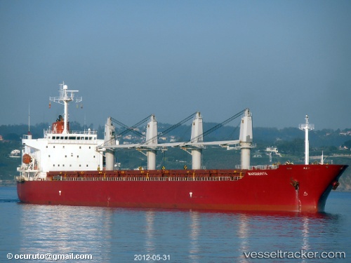
 New Island
Current Status
Where is the vessel?
New Island is currently in 57 nm N of Zamoranos, based on AIS data received about 1h ago.
Latest AIS update:
Current position: 38.46167° N, 4.17367° E (57 nm N of Zamoranos)
Average speed (last 7 days): Loading…
Average speed (last 30 days): Loading…
Vessel profile: New Island is a Bulk Carrier with dimensions 190m x 31m.
This page combines live AIS, route history, probable destination signals, nearby traffic, and port activity for practical vessel monitoring.
The current position of vessel New Island is 38.46167 lat / 4.17367 lng. Updated: 2026-04-02 19:39:43 UTCNearest reference points:
- 36 nm S of San Martín De Pusa
- Near Zamoranos
- Near MAO
Currently sailing under the flag of Malta ![]()
New Island built in 2002 year
Deadweight:
47304 tDetails:
Live Vessel New Island Analytics (details, animations, etc.)
Recent AIS points (UTC):
2026-04-02 13:27:34 UTC · 38.48217, 2.92033 · SOG 9 kn · COG 86°2026-04-02 14:36:43 UTC · 38.49317, 3.14916 · SOG 9.4 kn · COG 89°
2026-04-02 14:36:43 UTC · 38.49317, 3.14916 · SOG 9.4 kn · COG 89°
2026-04-02 19:39:43 UTC · 38.46167, 4.17367 · SOG 9.1 kn · COG -1°