 vesseltracker.com
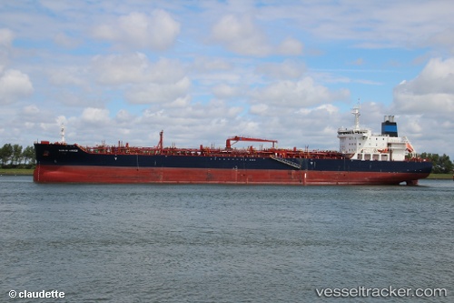
 AGAPI 1
Current Status
Where is the vessel?
AGAPI 1 is currently in 28 nm W of PENICHE, based on AIS data received less than 1h ago.
Latest AIS update:
Current position: 39.46579° N, 9.94945° W (28 nm W of PENICHE)
Average speed (last 7 days): Loading…
Average speed (last 30 days): Loading…
Vessel profile: AGAPI 1 is a Tanker with dimensions m x m.
This page combines live AIS, route history, probable destination signals, nearby traffic, and port activity for practical vessel monitoring.
The current position of vessel AGAPI 1 is 39.46579 lat / -9.94945 lng. Updated: 2026-05-02 20:03:48 UTCNearest reference points:
- Near PENICHE
- 18 nm W of Colares
- Near Nazaré
Currently sailing under the flag of Malta ![]()
Details:
Live Vessel AGAPI 1 Analytics (details, animations, etc.)
Recent AIS points (UTC):
2026-05-02 16:52:52 UTC · 38.82833, -9.94333 · SOG 11 kn · COG -1°2026-05-02 17:42:32 UTC · 38.99374, -9.94538 · SOG 12 kn · COG 358°
2026-05-02 19:04:24 UTC · 39.26781, -9.95274 · SOG 12.3 kn · COG 2°
2026-05-02 20:03:48 UTC · 39.46579, -9.94945 · SOG 12.3 kn · COG 85°