 vesseltracker.com
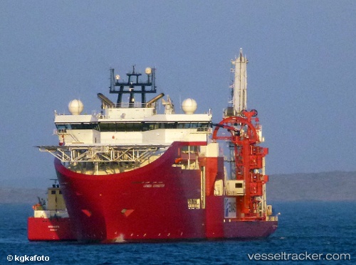
 CONNECTOR
Current Status
Where is the vessel?
CONNECTOR is currently in 22 nm SE of Amagansett, based on AIS data received about 3h ago.
Latest AIS update:
Current position: 40.71020° N, 71.80746° W (22 nm SE of Amagansett)
Average speed (last 7 days): Loading…
Average speed (last 30 days): Loading…
Vessel profile: CONNECTOR is a Offshore Support Vessel with dimensions 32m x 157m.
This page combines live AIS, route history, probable destination signals, nearby traffic, and port activity for practical vessel monitoring.
The current position of vessel CONNECTOR is 40.71020 lat / -71.80746 lng. Updated: 2026-04-27 18:07:46 UTCNearest reference points:
- 37 nm NE of Offshore Ambrose
- Near PLUM ISLAND
- Near Springville, Suffolk
Currently sailing under the flag of Luxembourg ![]()
CONNECTOR built in 2011 year
Deadweight:
11000 tDetails:
Live Vessel CONNECTOR Analytics (details, animations, etc.)
Recent AIS points (UTC):
2026-04-27 16:35:45 UTC · 40.71025, -71.80748 · SOG 0.2 kn · COG 154°2026-04-27 16:35:45 UTC · 40.71025, -71.80748 · SOG 0.2 kn · COG 154°
2026-04-27 18:07:46 UTC · 40.71020, -71.80746 · SOG 0.2 kn · COG 154°
2026-04-27 18:07:46 UTC · 40.71020, -71.80746 · SOG 0.2 kn · COG 154°