 vesseltracker.com
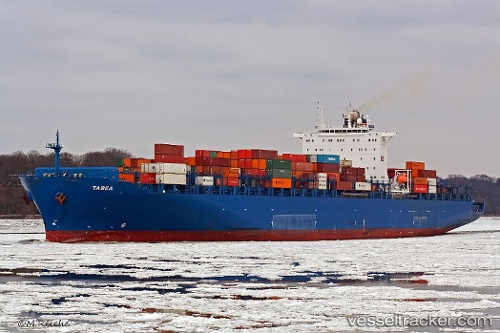
 Tabea
Tabea
Current Status
Where is the vessel?
Tabea is currently in Near Ankaran, based on AIS data received less than 1h ago.
Latest AIS update:
Current position: 45.55295° N, 13.73039° E (Near Ankaran)
Average speed (last 7 days): Loading…
Average speed (last 30 days): Loading…
Vessel profile: Tabea is a Container Ship with dimensions 277m x 276m.
This page combines live AIS, route history, probable destination signals, nearby traffic, and port activity for practical vessel monitoring.
The current position of vessel Tabea is 45.55295 lat / 13.73039 lng. Updated: 2026-05-13 21:54:33 UTCNearest reference points:
- Near Ankaran
- Near IZOLA
- Near Trieste
Currently sailing under the flag of Portugal ![]()
Tabea built in 2006 year
Deadweight:
68228 tDetails:
Live Vessel Tabea Analytics (details, animations, etc.)
Recent AIS points (UTC):
2026-05-13 17:29:35 UTC · 45.54265, 13.45861 · SOG 7.7 kn · COG 55°2026-05-13 19:50:01 UTC · 45.56952, 13.63065 · SOG 0.5 kn · COG 93°
2026-05-13 19:58:01 UTC · 45.56941, 13.63204 · SOG 0.4 kn · COG 81°
2026-05-13 21:54:33 UTC · 45.55295, 13.73039 · SOG 0 kn · COG 87°