 vesseltracker.com
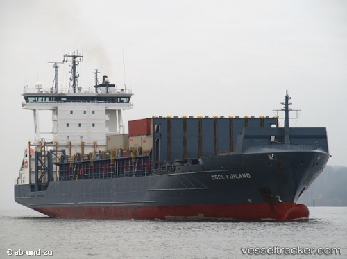
 Anina
Anina
Current Status
Where is the vessel?
Anina is currently in Near Klaipeda, based on AIS data received less than 1h ago.
Latest AIS update:
Current position: 55.64597° N, 21.16058° E (Near Klaipeda)
Average speed (last 7 days): Loading…
Average speed (last 30 days): Loading…
Vessel profile: Anina is a Container Ship with dimensions 149m x 23m.
This page combines live AIS, route history, probable destination signals, nearby traffic, and port activity for practical vessel monitoring.
The current position of vessel Anina is 55.64597 lat / 21.16058 lng. Updated: 2026-04-23 16:22:56 UTCNearest reference points:
- Near Klaipeda
- Near Cimdenieki
- Near Kaliningrad
Currently sailing under the flag of Portugal ![]()
Anina built in 2006 year
Deadweight:
13720 tDetails:
Live Vessel Anina Analytics (details, animations, etc.)
Recent AIS points (UTC):
2026-04-23 13:16:55 UTC · 55.64599, 21.16064 · SOG 0 kn · COG 325°2026-04-23 14:07:56 UTC · 55.64598, 21.16061 · SOG 0 kn · COG 325°
2026-04-23 16:13:56 UTC · 55.64603, 21.16061 · SOG 0 kn · COG 325°
2026-04-23 16:22:56 UTC · 55.64597, 21.16058 · SOG 0 kn · COG 325°