 vesseltracker.com
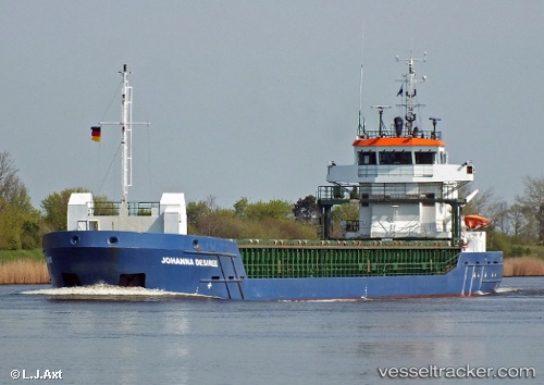
 Rosi
Rosi
Current Status
Where is the vessel?
Rosi is currently in Near North Cove, based on AIS data received less than 1h ago.
Latest AIS update:
Current position: 52.35426° N, 1.94751° E (Near North Cove)
Average speed (last 7 days): Loading…
Average speed (last 30 days): Loading…
Vessel profile: Rosi is a General Cargo Ship with dimensions 89m x 13m.
This page combines live AIS, route history, probable destination signals, nearby traffic, and port activity for practical vessel monitoring.
The current position of vessel Rosi is 52.35426 lat / 1.94751 lng. Updated: 2026-05-02 22:49:40 UTCNearest reference points:
- Near Oulton Broad
- 11 nm NE of Caister on Sea
- Near Hemsby
Currently sailing under the flag of Portugal ![]()
Rosi built in 2010 year
Deadweight:
3850 tDetails:
Live Vessel Rosi Analytics (details, animations, etc.)
Recent AIS points (UTC):
2026-05-02 19:26:50 UTC · 51.99006, 1.84773 · SOG 7 kn · COG 20°2026-05-02 19:56:51 UTC · 52.04268, 1.87371 · SOG 6.2 kn · COG 20°
2026-05-02 21:45:21 UTC · 52.23080, 1.93996 · SOG 6.8 kn · COG 4°
2026-05-02 22:49:40 UTC · 52.35426, 1.94751 · SOG 6.9 kn · COG 3°