 vesseltracker.com
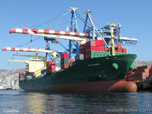
 As Patria
Current Status
Where is the vessel?
As Patria is currently in 15 nm E of Jingjiang, based on AIS data received less than 1h ago.
Latest AIS update:
Current position: 31.08930° N, 122.71148° E (15 nm E of Jingjiang)
Average speed (last 7 days): Loading…
Average speed (last 30 days): Loading…
Vessel profile: As Patria is a Container Ship with dimensions 210m x 210m.
This page combines live AIS, route history, probable destination signals, nearby traffic, and port activity for practical vessel monitoring.
The current position of vessel As Patria is 31.08930 lat / 122.71148 lng. Updated: 2026-05-15 18:03:07 UTCNearest reference points:
- 14 nm N of Lü-hua Shan
- 19 nm NE of Lü-hua Shan
- 21 nm NE of Lü-hua Shan
Currently sailing under the flag of Portugal ![]()
As Patria built in 2006 year
Deadweight:
34495 tDetails:
Live Vessel As Patria Analytics (details, animations, etc.)
Recent AIS points (UTC):
2026-05-15 14:26:56 UTC · 31.29512, 121.78778 · SOG 12.3 kn · COG 114°2026-05-15 15:48:57 UTC · 31.20003, 122.14198 · SOG 15.1 kn · COG 126°
2026-05-15 16:58:32 UTC · 31.10218, 122.43055 · SOG 10.2 kn · COG 100°
2026-05-15 18:03:07 UTC · 31.08930, 122.71148 · SOG 14.8 kn · COG 90°