 vesseltracker.com
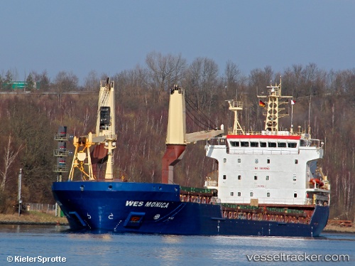
 Sider Monica
Current Status
Where is the vessel?
Sider Monica is currently in Near La Pallice, based on AIS data received less than 1h ago.
Latest AIS update:
Current position: 46.16017° N, 1.23283° W (Near La Pallice)
Average speed (last 7 days): Loading…
Average speed (last 30 days): Loading…
Vessel profile: Sider Monica is a Multi Purpose Carrier with dimensions 108m x 18m.
This page combines live AIS, route history, probable destination signals, nearby traffic, and port activity for practical vessel monitoring.
The current position of vessel Sider Monica is 46.16017 lat / -1.23283 lng. Updated: 2026-04-23 23:54:08 UTCNearest reference points:
- Near La Pallice
- Near La Rochelle
- Near Saint-Pierre-d'Oléron
Currently sailing under the flag of Portugal ![]()
Sider Monica built in 2009 year
Deadweight:
8048 tDetails:
Live Vessel Sider Monica Analytics (details, animations, etc.)
Recent AIS points (UTC):
2026-04-23 19:57:09 UTC · 46.16033, -1.23283 · SOG 0 kn · COG 186°2026-04-23 21:42:08 UTC · 46.16017, -1.23283 · SOG 0 kn · COG 186°
2026-04-23 22:18:08 UTC · 46.16033, -1.23283 · SOG 0 kn · COG 186°
2026-04-23 23:54:08 UTC · 46.16017, -1.23283 · SOG 0 kn · COG 186°