 vesseltracker.com
Ef Emma
Current StatusWhere is the vessel?
Ef Emma is currently in 100 nm S of Quelimane, based on AIS data received less than 1h ago.
Latest AIS update:
Current position: 19.51971° S, 37.27442° E (100 nm S of Quelimane)
Average speed (last 7 days): Loading…
Average speed (last 30 days): Loading…
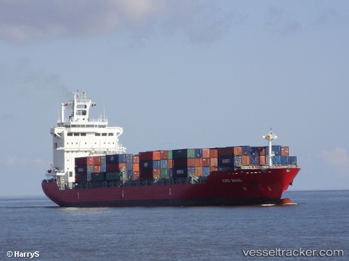
Vessel profile: Ef Emma is a Container Ship with dimensions 25m x 182m.
This page combines live AIS, route history, probable destination signals, nearby traffic, and port activity for practical vessel monitoring.
The current position of vessel Ef Emma is -19.51971 lat / 37.27442 lng. Updated: 2026-05-15 18:09:03 UTCNearest reference points:
- 62 nm SW of Quelimane
- 95 nm E of Quelimane
- 24 nm SE of Beira
Details:
Live Vessel Ef Emma Analytics (details, animations, etc.)
Recent AIS points (UTC):
2026-05-15 14:00:41 UTC · -19.03167, 38.08667 · SOG 13 kn · COG -1°2026-05-15 16:04:09 UTC · -19.27688, 37.68144 · SOG 13.3 kn · COG 240°
2026-05-15 17:04:00 UTC · -19.39500, 37.48500 · SOG 13 kn · COG -1°
2026-05-15 18:09:03 UTC · -19.51971, 37.27442 · SOG 12.2 kn · COG 243°