 vesseltracker.com
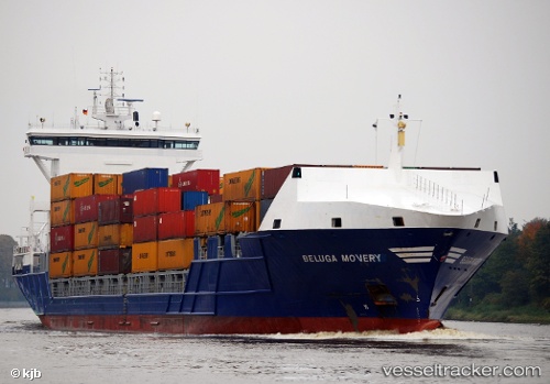
 Lola B
Current Status
Where is the vessel?
Lola B is currently in Near Zona Franca de Barcelona, based on AIS data received less than 1h ago.
Latest AIS update:
Current position: 41.33742° N, 2.14973° E (Near Zona Franca de Barcelona)
Average speed (last 7 days): Loading…
Average speed (last 30 days): Loading…
Vessel profile: Lola B is a Container Ship with dimensions 155m x 155m.
This page combines live AIS, route history, probable destination signals, nearby traffic, and port activity for practical vessel monitoring.
The current position of vessel Lola B is 41.33742 lat / 2.14973 lng. Updated: 2026-04-24 19:32:54 UTCNearest reference points:
- Near Zona Franca de Barcelona
- Near Barcelona
- Near BADALONA
Currently sailing under the flag of Portugal ![]()
Lola B built in 2007 year
Deadweight:
10750 tDetails:
Live Vessel Lola B Analytics (details, animations, etc.)
Recent AIS points (UTC):
2026-04-24 16:08:55 UTC · 41.33748, 2.14986 · SOG 0 kn · COG 4°2026-04-24 16:14:54 UTC · 41.33746, 2.14980 · SOG 0 kn · COG 4°
2026-04-24 18:04:07 UTC · 41.33667, 2.14833 · SOG 0 kn · COG -1°
2026-04-24 19:32:54 UTC · 41.33742, 2.14973 · SOG 0 kn · COG 4°