 vesseltracker.com
 AMBERLAND
Current Status
Where is the vessel?
AMBERLAND is currently in 10 nm NW of Kappelshamn, based on AIS data received less than 1h ago.
Latest AIS update:
Current position: 57.91862° N, 18.48100° E (10 nm NW of Kappelshamn)
Average speed (last 7 days): Loading…
Average speed (last 30 days): Loading…
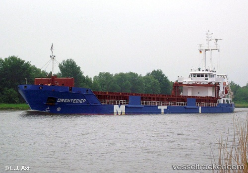
Vessel profile: AMBERLAND is a General Cargo Ship with dimensions 105m x 15m.
This page combines live AIS, route history, probable destination signals, nearby traffic, and port activity for practical vessel monitoring.
The current position of vessel AMBERLAND is 57.91862 lat / 18.48100 lng. Updated: 2026-04-28 11:25:18 UTCNearest reference points:
- Near Stora Vika
- Near Gustavsvik/Stockholm
- Near NOTTNAS
Currently sailing under the flag of Portugal (MAR) ![]()
AMBERLAND built in 2010 year
Deadweight:
5724 tDetails:
Live Vessel AMBERLAND Analytics (details, animations, etc.)
Recent AIS points (UTC):
2026-04-28 08:21:58 UTC · 58.10714, 19.40829 · SOG 9.7 kn · COG 301°2026-04-28 10:09:37 UTC · 58.00502, 18.85947 · SOG 10.3 kn · COG 248°
2026-04-28 10:48:57 UTC · 57.96103, 18.66249 · SOG 10.4 kn · COG 248°
2026-04-28 11:25:18 UTC · 57.91862, 18.48100 · SOG 10.5 kn · COG 237°