 vesseltracker.com
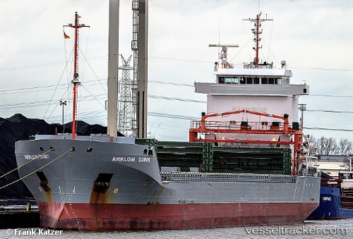
 PINDO
PINDO
Current Status
Where is the vessel?
PINDO is currently in Near CARBONERAS, based on AIS data received about 1h ago.
Latest AIS update:
Current position: 36.98078° N, 1.88569° W (Near CARBONERAS)
Average speed (last 7 days): Loading…
Average speed (last 30 days): Loading…
Vessel profile: PINDO is a General Cargo with dimensions m x m.
This page combines live AIS, route history, probable destination signals, nearby traffic, and port activity for practical vessel monitoring.
The current position of vessel PINDO is 36.98078 lat / -1.88569 lng. Updated: 2026-04-29 05:39:20 UTCNearest reference points:
- 20 nm SE of CARBONERAS
- 26 nm S of El Alquian
- 27 nm SE of El Alquian
Currently sailing under the flag of Portugal ![]()
Details:
Live Vessel PINDO Analytics (details, animations, etc.)
Recent AIS points (UTC):
2026-04-28 10:55:40 UTC · 36.97995, -1.89013 · SOG 0.6 kn · COG 87°2026-04-28 10:55:40 UTC · 36.97995, -1.89013 · SOG 0.6 kn · COG 87°
2026-04-28 10:55:40 UTC · 36.97995, -1.89013 · SOG 0.6 kn · COG 87°
2026-04-29 05:39:20 UTC · 36.98078, -1.88569 · SOG 3.9 kn · COG 149°