 vesseltracker.com
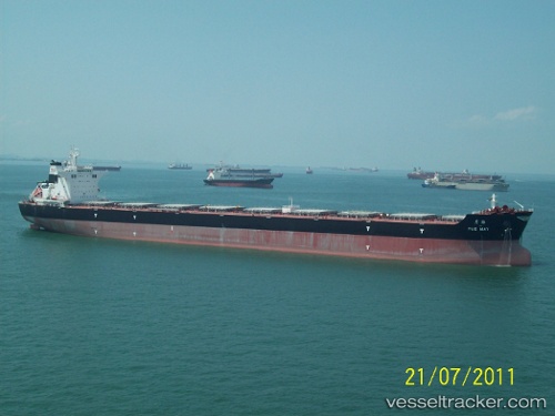
 ALMERA
Current Status
Where is the vessel?
ALMERA is currently in 206 nm NW of Diego Garcia, based on AIS data received about 1h ago.
Latest AIS update:
Current position: 4.61529° S, 70.34022° E (206 nm NW of Diego Garcia)
Average speed (last 7 days): Loading…
Average speed (last 30 days): Loading…
Vessel profile: ALMERA is a Cargo with dimensions m x m.
This page combines live AIS, route history, probable destination signals, nearby traffic, and port activity for practical vessel monitoring.
The current position of vessel ALMERA is -4.61529 lat / 70.34022 lng. Updated: 2026-04-24 20:13:25 UTCNearest reference points:
- 222 nm SW of Gan
- 147 nm W of Diego Garcia
Currently sailing under the flag of Portugal ![]()
Details:
Live Vessel ALMERA Analytics (details, animations, etc.)
Recent AIS points (UTC):
2026-04-24 16:26:08 UTC · -4.10333, 70.89667 · SOG 12 kn · COG -1°2026-04-24 17:36:52 UTC · -4.26286, 70.72220 · SOG 11.8 kn · COG 232°
2026-04-24 20:02:15 UTC · -4.58833, 70.36666 · SOG 11 kn · COG -1°
2026-04-24 20:13:25 UTC · -4.61529, 70.34022 · SOG 11.9 kn · COG 227°