 vesseltracker.com
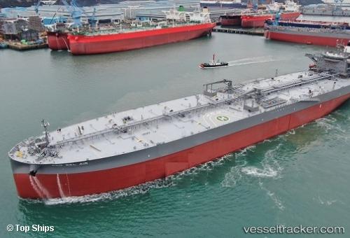
 P. BEL AIR
Current Status
Where is the vessel?
P. BEL AIR is currently in 125 nm SW of Walvisbaai, based on AIS data received about 1h ago.
Latest AIS update:
Current position: 24.71092° S, 13.28704° E (125 nm SW of Walvisbaai)
Average speed (last 7 days): Loading…
Average speed (last 30 days): Loading…
Vessel profile: P. BEL AIR is a Tanker with dimensions m x m.
This page combines live AIS, route history, probable destination signals, nearby traffic, and port activity for practical vessel monitoring.
The current position of vessel P. BEL AIR is -24.71092 lat / 13.28704 lng. Updated: 2026-05-14 20:01:43 UTCNearest reference points:
- 161 nm W of Walvisbaai
- Near WALVIS BAY
- 151 nm W of Henties Bay (Hentiesbaai)
Currently sailing under the flag of Portugal ![]()
Details:
Live Vessel P. BEL AIR Analytics (details, animations, etc.)
Recent AIS points (UTC):
2026-05-14 16:18:11 UTC · -23.99692, 13.01688 · SOG 12 kn · COG 160°2026-05-14 17:19:51 UTC · -24.19315, 13.09267 · SOG 12.2 kn · COG 163°
2026-05-14 19:38:51 UTC · -24.63863, 13.25871 · SOG 11.9 kn · COG 161°
2026-05-14 20:01:43 UTC · -24.71092, 13.28704 · SOG 12.1 kn · COG 161°