 vesseltracker.com
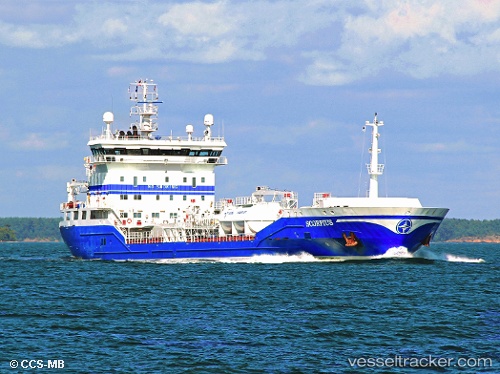
 ZEA LILIAN
Current Status
Where is the vessel?
ZEA LILIAN is currently in Near Fort Gratiot, based on AIS data received less than 1h ago.
Latest AIS update:
Current position: 43.08496° N, 82.35980° W (Near Fort Gratiot)
Average speed (last 7 days): Loading…
Average speed (last 30 days): Loading…
Vessel profile: ZEA LILIAN is a Oil/Chemical Tanker with dimensions m x m.
This page combines live AIS, route history, probable destination signals, nearby traffic, and port activity for practical vessel monitoring.
The current position of vessel ZEA LILIAN is 43.08496 lat / -82.35980 lng. Updated: 2026-04-28 09:27:24 UTCNearest reference points:
- Near Fort Gratiot
- Near Saint Clair Shores
- Near Walkerville
Currently sailing under the flag of Portugal ![]()
Details:
Live Vessel ZEA LILIAN Analytics (details, animations, etc.)
Recent AIS points (UTC):
2026-04-28 05:36:21 UTC · 43.08480, -82.36055 · SOG 0 kn · COG 154°2026-04-28 07:24:20 UTC · 43.08483, -82.36046 · SOG 0.1 kn · COG 154°
2026-04-28 08:00:21 UTC · 43.08480, -82.36064 · SOG 0.1 kn · COG 150°
2026-04-28 09:27:24 UTC · 43.08496, -82.35980 · SOG 0 kn · COG 171°