 vesseltracker.com
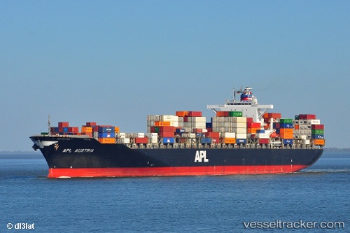
 MSC DUBAI VII
Current Status
Where is the vessel?
MSC DUBAI VII is currently in 149 nm SE of Manakara, based on AIS data received about 1h ago.
Latest AIS update:
Current position: 23.58591° S, 50.21564° E (149 nm SE of Manakara)
Average speed (last 7 days): Loading…
Average speed (last 30 days): Loading…
Vessel profile: MSC DUBAI VII is a Container Ship with dimensions m x m.
This page combines live AIS, route history, probable destination signals, nearby traffic, and port activity for practical vessel monitoring.
The current position of vessel MSC DUBAI VII is -23.58591 lat / 50.21564 lng. Updated: 2026-05-01 19:47:31 UTCNearest reference points:
- 194 nm E of Manakara
- 209 nm E of Manakara
Currently sailing under the flag of Portugal ![]()
Details:
Live Vessel MSC DUBAI VII Analytics (details, animations, etc.)
Recent AIS points (UTC):
2026-05-01 16:55:57 UTC · -23.21287, 50.80671 · SOG 13.9 kn · COG 238°2026-05-01 18:20:13 UTC · -23.39453, 50.51777 · SOG 13.7 kn · COG 235°
2026-05-01 19:28:54 UTC · -23.54598, 50.27849 · SOG 13.9 kn · COG 235°
2026-05-01 19:47:31 UTC · -23.58591, 50.21564 · SOG 13.2 kn · COG 231°