 vesseltracker.com
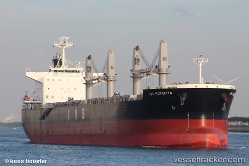
 IOANNIS
Current Status
Where is the vessel?
IOANNIS is currently in Near Langerbrugge, based on AIS data received about 1h ago.
Latest AIS update:
Current position: 51.11497° N, 3.75415° E (Near Langerbrugge)
Average speed (last 7 days): Loading…
Average speed (last 30 days): Loading…
Vessel profile: IOANNIS is a Cargo with dimensions m x m.
This page combines live AIS, route history, probable destination signals, nearby traffic, and port activity for practical vessel monitoring.
The current position of vessel IOANNIS is 51.11497 lat / 3.75415 lng. Updated: 2026-05-14 11:36:51 UTCNearest reference points:
- Near Oostakker
- Near Rieme
- Near SLUISKIL
Currently sailing under the flag of Malta ![]()
Details:
Live Vessel IOANNIS Analytics (details, animations, etc.)
Recent AIS points (UTC):
2026-05-14 08:24:57 UTC · 51.11487, 3.75404 · SOG 0.2 kn · COG 155°2026-05-14 10:12:57 UTC · 51.11487, 3.75393 · SOG 0.1 kn · COG 155°
2026-05-14 10:40:03 UTC · 51.11487, 3.75395 · SOG 0.1 kn · COG 155°
2026-05-14 11:36:51 UTC · 51.11497, 3.75415 · SOG 0.1 kn · COG 155°