 vesseltracker.com
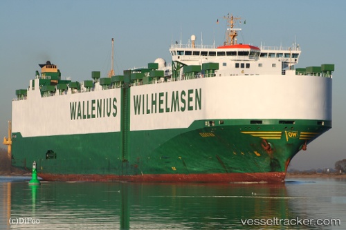
 ELEKTRA
Current Status
Where is the vessel?
ELEKTRA is currently in Open sea (no nearby ports in database), based on AIS data received less than 1h ago.
Latest AIS update:
Current position: 38.47693° S, 90.36078° E (Open sea (no nearby ports in database))
Average speed (last 7 days): Loading…
Average speed (last 30 days): Loading…
Vessel profile: ELEKTRA is a Vehicles Carrier with dimensions m x m.
This page combines live AIS, route history, probable destination signals, nearby traffic, and port activity for practical vessel monitoring.
The current position of vessel ELEKTRA is -38.47693 lat / 90.36078 lng. Updated: 2026-05-16 13:35:01 UTCNearest reference points:
- Open sea (no nearby ports in database)
Currently sailing under the flag of Norway ![]()
Details:
Live Vessel ELEKTRA Analytics (details, animations, etc.)
Recent AIS points (UTC):
2026-05-16 10:18:47 UTC · -38.59487, 89.31573 · SOG 15.2 kn · COG 83°2026-05-16 11:42:30 UTC · -38.54764, 89.76533 · SOG 15.1 kn · COG 84°
2026-05-16 13:24:54 UTC · -38.48336, 90.30690 · SOG 15.1 kn · COG 81°
2026-05-16 13:35:01 UTC · -38.47693, 90.36078 · SOG 14.8 kn · COG 80°