 vesseltracker.com
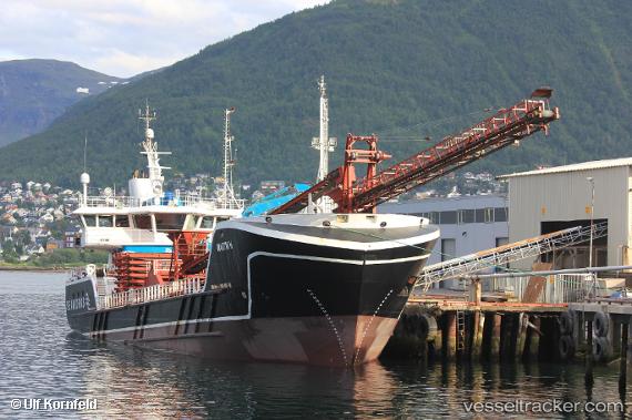
 Martin H
Current Status
Where is the vessel?
Martin H is currently in Near Anfinnsletta, based on AIS data received about 23h ago.
Latest AIS update:
Current position: 68.22225° N, 15.61115° E (Near Anfinnsletta)
Average speed (last 7 days): Loading…
Average speed (last 30 days): Loading…
Vessel profile: Martin H is a Multi Purpose Carrier with dimensions 68m x 13m.
This page combines live AIS, route history, probable destination signals, nearby traffic, and port activity for practical vessel monitoring.
The current position of vessel Martin H is 68.22225 lat / 15.61115 lng. Updated: 2026-04-10 07:25:31 UTCNearest reference points:
- Near Sigerfjord
- Near Hammerfall
- Near Salten
Currently sailing under the flag of Norway ![]()
Details:
Live Vessel Martin H Analytics (details, animations, etc.)
Recent AIS points (UTC):
2026-04-10 02:23:32 UTC · 67.77060, 14.52443 · SOG 7.6 kn · COG 4°2026-04-10 03:49:54 UTC · 67.91968, 14.74162 · SOG 7.4 kn · COG 9°
2026-04-10 06:00:32 UTC · 68.10620, 15.27705 · SOG 7.2 kn · COG 50°
2026-04-10 07:25:31 UTC · 68.22225, 15.61115 · SOG 7.1 kn · COG 53°