 vesseltracker.com
 Orfjord
Current Status
Where is the vessel?
Orfjord is currently in Near Lyngstad, based on AIS data received less than 1h ago.
Latest AIS update:
Current position: 63.00438° N, 7.40494° E (Near Lyngstad)
Average speed (last 7 days): Loading…
Average speed (last 30 days): Loading…
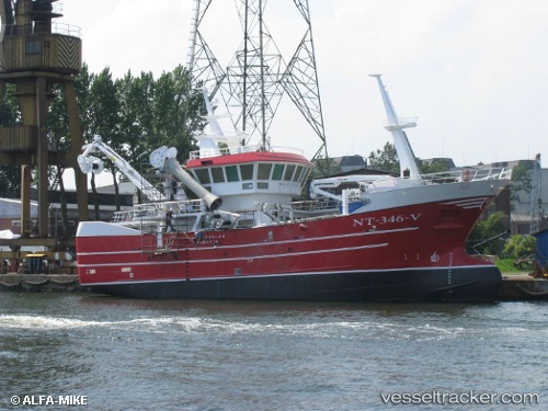
Vessel profile: Orfjord is a Fishing Vessel with dimensions 35m x 10m.
This page combines live AIS, route history, probable destination signals, nearby traffic, and port activity for practical vessel monitoring.
The current position of vessel Orfjord is 63.00438 lat / 7.40494 lng. Updated: 2026-05-15 16:41:47 UTCNearest reference points:
- Near ELNESVAGEN
- Near Aukra
- Near Kristiansund
Currently sailing under the flag of Norway ![]()
Orfjord built in 2013 year
Deadweight:
500 tDetails:
Live Vessel Orfjord Analytics (details, animations, etc.)
Recent AIS points (UTC):
2026-05-15 13:10:26 UTC · 63.00437, 7.40489 · SOG 0 kn · COG 277°2026-05-15 13:32:16 UTC · 63.00437, 7.40487 · SOG 0 kn · COG 277°
2026-05-15 15:34:28 UTC · 63.00441, 7.40489 · SOG 0 kn · COG 277°
2026-05-15 16:41:47 UTC · 63.00438, 7.40494 · SOG 0 kn · COG 277°