 vesseltracker.com
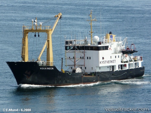
 Vikingfjord
Current Status
Where is the vessel?
Vikingfjord is currently in Near FONNES, based on AIS data received about 828d ago.
Latest AIS update:
Current position: 60.80880° N, 4.97427° E (Near FONNES)
Average speed (last 7 days): Loading…
Average speed (last 30 days): Loading…
Vessel profile: Vikingfjord is a Buoy Lighthouse Vessel with dimensions 43m x 10m.
This page combines live AIS, route history, probable destination signals, nearby traffic, and port activity for practical vessel monitoring.
The current position of vessel Vikingfjord is 60.80880 lat / 4.97427 lng. Updated: 2024-02-05 10:14:13 UTCNearest reference points:
- Near Eivindvik
- Near Solund
- Near Skålevik
Currently sailing under the flag of Norway ![]()
Vikingfjord built in 1974 year
Deadweight:
356 tDetails:
Live Vessel Vikingfjord Analytics (details, animations, etc.)
Recent AIS points (UTC):
2024-02-05 10:14:13 UTC · 60.80880, 4.97427 · SOG 0 kn · COG -1°