 vesseltracker.com
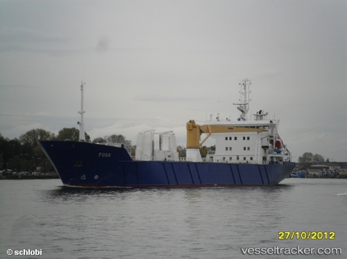
 CARTEN ELINA
Current Status
Where is the vessel?
CARTEN ELINA is currently in Near Fredrikstad, based on AIS data received less than 1h ago.
Latest AIS update:
Current position: 59.18922° N, 10.95096° E (Near Fredrikstad)
Average speed (last 7 days): Loading…
Average speed (last 30 days): Loading…
Vessel profile: CARTEN ELINA is a Pallet Carrier with dimensions m x m.
This page combines live AIS, route history, probable destination signals, nearby traffic, and port activity for practical vessel monitoring.
The current position of vessel CARTEN ELINA is 59.18922 lat / 10.95096 lng. Updated: 2026-04-24 16:15:39 UTCNearest reference points:
- Near Utgårdskilen
- Near STROMSTAD
- Near Son
Currently sailing under the flag of Norway ![]()
Details:
Live Vessel CARTEN ELINA Analytics (details, animations, etc.)
Recent AIS points (UTC):
2026-04-24 13:41:30 UTC · 58.95495, 10.56568 · SOG 10.8 kn · COG 52°2026-04-24 14:03:50 UTC · 58.99329, 10.66749 · SOG 10.3 kn · COG 48°
2026-04-24 16:10:01 UTC · 59.18923, 10.95100 · SOG 0 kn · COG 350°
2026-04-24 16:15:39 UTC · 59.18922, 10.95096 · SOG 0 kn · COG 350°