 vesseltracker.com
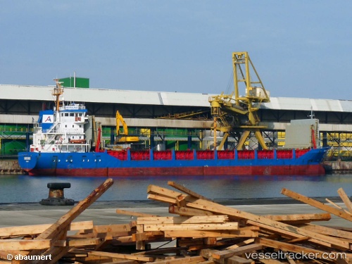
 Norsund
Current Status
Where is the vessel?
Norsund is currently in Near Flora, based on AIS data received about 1h ago.
Latest AIS update:
Current position: 61.60257° N, 5.05155° E (Near Flora)
Average speed (last 7 days): Loading…
Average speed (last 30 days): Loading…
Vessel profile: Norsund is a Multi Purpose Carrier with dimensions 89m x 14m.
This page combines live AIS, route history, probable destination signals, nearby traffic, and port activity for practical vessel monitoring.
The current position of vessel Norsund is 61.60257 lat / 5.05155 lng. Updated: 2026-05-01 17:45:23 UTCNearest reference points:
- Near MALOY
- Near Eikefjord
- Near RAUDEBERG
Currently sailing under the flag of Norway ![]()
Norsund built in 1991 year
Deadweight:
3982 tDetails:
Live Vessel Norsund Analytics (details, animations, etc.)
Recent AIS points (UTC):
2026-05-01 13:30:20 UTC · 61.60254, 5.05207 · SOG 0.2 kn · COG 2°2026-05-01 13:54:20 UTC · 61.60277, 5.05188 · SOG 0.3 kn · COG 2°
2026-05-01 15:54:19 UTC · 61.60303, 5.05246 · SOG 0 kn · COG 2°
2026-05-01 17:45:23 UTC · 61.60257, 5.05155 · SOG 0.1 kn · COG 2°