 vesseltracker.com
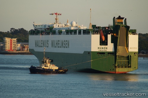
 Manon
Manon
Current Status
Where is the vessel?
Manon is currently in Near Rubbestadneset, based on AIS data received less than 1h ago.
Latest AIS update:
Current position: 59.81975° N, 5.26698° E (Near Rubbestadneset)
Average speed (last 7 days): Loading…
Average speed (last 30 days): Loading…
Vessel profile: Manon is a Fish Carrier with dimensions 70m x 14m.
This page combines live AIS, route history, probable destination signals, nearby traffic, and port activity for practical vessel monitoring.
The current position of vessel Manon is 59.81975 lat / 5.26698 lng. Updated: 2026-04-25 22:13:30 UTCNearest reference points:
- Near SANDVIKVAAG
- Near Valevåg
- Near TORANGSVAG
Currently sailing under the flag of Norway ![]()
Manon built in 1996 year
Deadweight:
2500 tDetails:
Live Vessel Manon Analytics (details, animations, etc.)
Recent AIS points (UTC):
2026-04-25 19:13:35 UTC · 59.81968, 5.26702 · SOG 0 kn · COG 142°2026-04-25 19:46:24 UTC · 59.81970, 5.26703 · SOG 0 kn · COG 141°
2026-04-25 21:54:15 UTC · 59.81971, 5.26703 · SOG 0 kn · COG 141°
2026-04-25 22:13:30 UTC · 59.81975, 5.26698 · SOG 0 kn · COG 141°