 vesseltracker.com
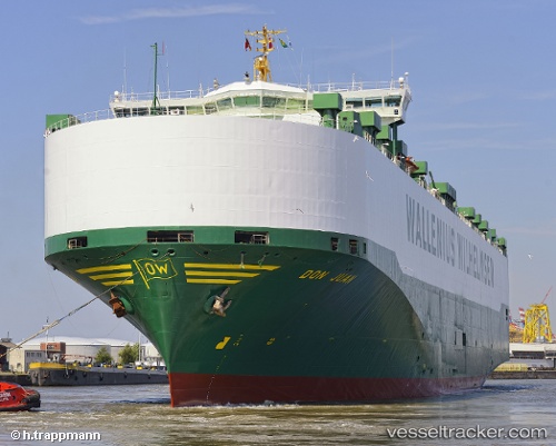
 DON JUAN
Current Status
Where is the vessel?
DON JUAN is currently in 27 nm NE of HITAKATSU, based on AIS data received about 1h ago.
Latest AIS update:
Current position: 34.96167° N, 129.86501° E (27 nm NE of HITAKATSU)
Average speed (last 7 days): Loading…
Average speed (last 30 days): Loading…
Vessel profile: DON JUAN is a Vehicles Carrier with dimensions m x m.
This page combines live AIS, route history, probable destination signals, nearby traffic, and port activity for practical vessel monitoring.
The current position of vessel DON JUAN is 34.96167 lat / 129.86501 lng. Updated: 2026-05-01 05:50:20 UTCNearest reference points:
- 27 nm SE of ONSAN
- 15 nm SE of Ulsan
- 30 nm NW of Hibiki-Nada
Currently sailing under the flag of Sweden ![]()
Details:
Live Vessel DON JUAN Analytics (details, animations, etc.)
Recent AIS points (UTC):
2026-05-01 01:05:11 UTC · 35.06320, 129.66737 · SOG 2.5 kn · COG 336°2026-05-01 03:14:23 UTC · 35.04833, 129.76666 · SOG 2 kn · COG -1°
2026-05-01 04:35:23 UTC · 35.01333, 129.82167 · SOG 2 kn · COG -1°
2026-05-01 05:50:20 UTC · 34.96167, 129.86501 · SOG 3 kn · COG -1°