 vesseltracker.com
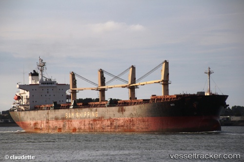
 LAND MARK
Current Status
Where is the vessel?
LAND MARK is currently in 20 nm S of Parit Raja, based on AIS data received about 1h ago.
Latest AIS update:
Current position: 1.54052° N, 103.07236° E (20 nm S of Parit Raja)
Average speed (last 7 days): Loading…
Average speed (last 30 days): Loading…
Vessel profile: LAND MARK is a Bulk Carrier with dimensions m x m.
This page combines live AIS, route history, probable destination signals, nearby traffic, and port activity for practical vessel monitoring.
The current position of vessel LAND MARK is 1.54052 lat / 103.07236 lng. Updated: 2026-04-23 23:28:45 UTCNearest reference points:
- 19 nm W of Tanjong Bin
- 17 nm NE of Perawang
- 15 nm W of Tanjong Bin
Currently sailing under the flag of San Marino ![]()
Details:
Live Vessel LAND MARK Analytics (details, animations, etc.)
Recent AIS points (UTC):
2026-04-23 20:05:05 UTC · 1.19485, 103.60390 · SOG 11.1 kn · COG 283°2026-04-23 21:53:45 UTC · 1.33400, 103.30499 · SOG 11.4 kn · COG 311°
2026-04-23 22:10:36 UTC · 1.36898, 103.26378 · SOG 11.6 kn · COG 311°
2026-04-23 23:28:45 UTC · 1.54052, 103.07236 · SOG 11.9 kn · COG 316°