 vesseltracker.com
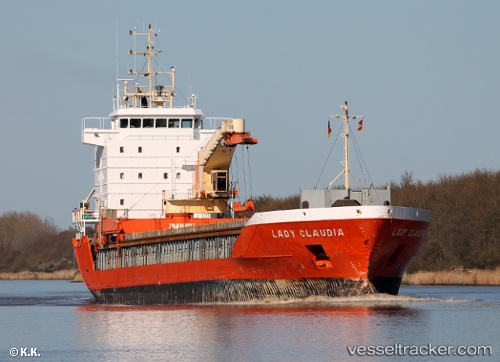
 CLAUDIA A
Current Status
Where is the vessel?
CLAUDIA A is currently in Near Nantes, based on AIS data received less than 1h ago.
Latest AIS update:
Current position: 47.19181° N, 1.59513° W (Near Nantes)
Average speed (last 7 days): Loading…
Average speed (last 30 days): Loading…
Vessel profile: CLAUDIA A is a General Cargo with dimensions m x m.
This page combines live AIS, route history, probable destination signals, nearby traffic, and port activity for practical vessel monitoring.
The current position of vessel CLAUDIA A is 47.19181 lat / -1.59513 lng. Updated: 2026-04-25 11:56:04 UTCNearest reference points:
- Near Saint-Gilles-Croix-de-Vie
- Near LA BARRE DE MONTS
- Near LES SABLES D OLONNE
Currently sailing under the flag of San Marino ![]()
Details:
Live Vessel CLAUDIA A Analytics (details, animations, etc.)
Recent AIS points (UTC):
2026-04-25 08:08:10 UTC · 47.19183, -1.59524 · SOG 0 kn · COG 257°2026-04-25 09:35:01 UTC · 47.19181, -1.59530 · SOG 0 kn · COG 257°
2026-04-25 10:44:02 UTC · 47.19189, -1.59521 · SOG 0 kn · COG 258°
2026-04-25 11:56:04 UTC · 47.19181, -1.59513 · SOG 0 kn · COG 258°