 vesseltracker.com
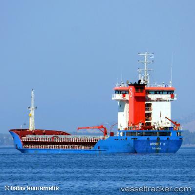
 Hikmet K
Current Status
Where is the vessel?
Hikmet K is currently in Near Marmara Ereglisi, based on AIS data received about 1h ago.
Latest AIS update:
Current position: 40.83111° N, 28.03856° E (Near Marmara Ereglisi)
Average speed (last 7 days): Loading…
Average speed (last 30 days): Loading…
Vessel profile: Hikmet K is a General Cargo Ship with dimensions 95m x 17m.
This page combines live AIS, route history, probable destination signals, nearby traffic, and port activity for practical vessel monitoring.
The current position of vessel Hikmet K is 40.83111 lat / 28.03856 lng. Updated: 2026-04-17 03:46:23 UTCNearest reference points:
- Near Saraylar
- 11 nm E of Erdek
- Near Gürpinar
Currently sailing under the flag of Turkey ![]()
Hikmet K built in 2004 year
Deadweight:
5800 tDetails:
Live Vessel Hikmet K Analytics (details, animations, etc.)
Recent AIS points (UTC):
2026-04-16 22:20:58 UTC · 40.96892, 28.92967 · SOG 0 kn · COG 60°2026-04-17 00:19:53 UTC · 40.91580, 28.79801 · SOG 10.1 kn · COG 259°
2026-04-17 02:41:13 UTC · 40.85530, 28.28197 · SOG 10.3 kn · COG 263°
2026-04-17 03:46:23 UTC · 40.83111, 28.03856 · SOG 10.2 kn · COG 260°