 vesseltracker.com
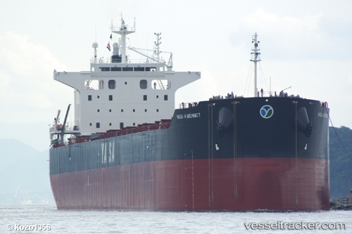
Yasa H.mehmet
Current StatusWhere is the vessel?
Yasa H.mehmet is currently in 51 nm SW of Cape Of Good Hope, based on AIS data received about 1h ago.
Latest AIS update:
Current position: 35.08192° S, 17.81236° E (51 nm SW of Cape Of Good Hope)
Average speed (last 7 days): Loading…
Average speed (last 30 days): Loading…
Vessel profile: Yasa H.mehmet is a Bulk Carrier with dimensions 32m x 229m.
This page combines live AIS, route history, probable destination signals, nearby traffic, and port activity for practical vessel monitoring.
The current position of vessel Yasa H.mehmet is -35.08192 lat / 17.81236 lng. Updated: 2026-04-26 03:23:39 UTCNearest reference points:
- 18 nm SW of Cape Of Good Hope
- 15 nm SE of Moorreesburg
- Near HOUT BAY
Details:
Live Vessel Yasa H.mehmet Analytics (details, animations, etc.)
Recent AIS points (UTC):
2026-04-26 00:05:30 UTC · -35.10384, 18.46748 · SOG 10.2 kn · COG 276°2026-04-26 01:00:01 UTC · -35.09870, 18.27952 · SOG 10 kn · COG 273°
2026-04-26 01:31:10 UTC · -35.09511, 18.17419 · SOG 10 kn · COG 272°
2026-04-26 03:23:39 UTC · -35.08192, 17.81236 · SOG 9.4 kn · COG 267°