 vesseltracker.com
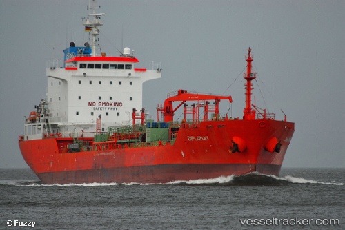
 Kaya Tuna
Current Status
Where is the vessel?
Kaya Tuna is currently in 12 nm NW of Volissos (Limnia) Chios, based on AIS data received about 8h ago.
Latest AIS update:
Current position: 38.64902° N, 25.80762° E (12 nm NW of Volissos (Limnia) Chios)
Average speed (last 7 days): Loading…
Average speed (last 30 days): Loading…
Vessel profile: Kaya Tuna is a Chemical Oil Products Tanker with dimensions 128m x 21m.
This page combines live AIS, route history, probable destination signals, nearby traffic, and port activity for practical vessel monitoring.
The current position of vessel Kaya Tuna is 38.64902 lat / 25.80762 lng. Updated: 2026-04-10 07:40:20 UTCNearest reference points:
- 28 nm NW of Psará
- Near CESME
- 29 nm SW of Sigri Lesvou
Currently sailing under the flag of Turkey ![]()
Kaya Tuna built in 2007 year
Deadweight:
13027 tDetails:
Live Vessel Kaya Tuna Analytics (details, animations, etc.)
Recent AIS points (UTC):
2026-04-10 02:16:59 UTC · 38.83408, 26.95505 · SOG 4.1 kn · COG 20°2026-04-10 04:02:19 UTC · 38.82667, 26.64739 · SOG 11.4 kn · COG 255°
2026-04-10 05:37:20 UTC · 38.73873, 26.28316 · SOG 11.1 kn · COG 260°
2026-04-10 07:40:20 UTC · 38.64902, 25.80762 · SOG 11.3 kn · COG 254°