 vesseltracker.com
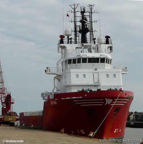
 Altan
Altan
Current Status
Where is the vessel?
Altan is currently in 180 nm E of Giohar, based on AIS data received less than 1h ago.
Latest AIS update:
Current position: 3.19810° N, 48.48783° E (180 nm E of Giohar)
Average speed (last 7 days): Loading…
Average speed (last 30 days): Loading…
Vessel profile: Altan is a Offshore Tug Supply Ship with dimensions 73m x 17m.
This page combines live AIS, route history, probable destination signals, nearby traffic, and port activity for practical vessel monitoring.
The current position of vessel Altan is 3.19810 lat / 48.48783 lng. Updated: 2026-05-15 20:13:48 UTCNearest reference points:
- 122 nm SE of El Maan
Currently sailing under the flag of Turkey ![]()
Altan built in 2005 year
Deadweight:
3555 tDetails:
Live Vessel Altan Analytics (details, animations, etc.)
Recent AIS points (UTC):
2026-05-15 17:04:45 UTC · 3.19667, 48.48667 · SOG 0 kn · COG -1°2026-05-15 17:37:51 UTC · 3.19667, 48.48667 · SOG 0 kn · COG -1°
2026-05-15 19:19:45 UTC · 3.19667, 48.48667 · SOG 0 kn · COG -1°
2026-05-15 20:13:48 UTC · 3.19810, 48.48783 · SOG 0.5 kn · COG 235°