 vesseltracker.com
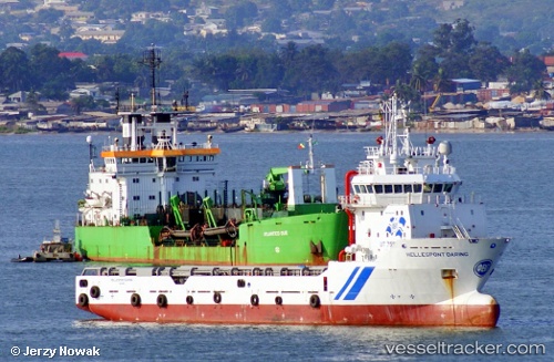
 Osman Bey
Current Status
Where is the vessel?
Osman Bey is currently in 83 nm NW of Bartin, based on AIS data received about 1h ago.
Latest AIS update:
Current position: 42.82882° N, 31.19591° E (83 nm NW of Bartin)
Average speed (last 7 days): Loading…
Average speed (last 30 days): Loading…
Vessel profile: Osman Bey is a Offshore Tug Supply Ship with dimensions 73m x 16m.
This page combines live AIS, route history, probable destination signals, nearby traffic, and port activity for practical vessel monitoring.
The current position of vessel Osman Bey is 42.82882 lat / 31.19591 lng. Updated: 2026-05-01 13:43:19 UTCNearest reference points:
- Near Erdemir
- 54 nm SE of Sveti Nikola
- 45 nm N of RUMELI FENERI
Currently sailing under the flag of Turkey ![]()
Osman Bey built in 2009 year
Deadweight:
3250 tDetails:
Live Vessel Osman Bey Analytics (details, animations, etc.)
Recent AIS points (UTC):
2026-05-01 10:47:18 UTC · 42.85710, 31.20620 · SOG 2.5 kn · COG 204°2026-05-01 11:37:00 UTC · 42.83055, 31.21055 · SOG 1 kn · COG 5°
2026-05-01 13:04:00 UTC · 42.81826, 31.17048 · SOG 1.7 kn · COG 51°
2026-05-01 13:43:19 UTC · 42.82882, 31.19591 · SOG 4.3 kn · COG 68°