 vesseltracker.com
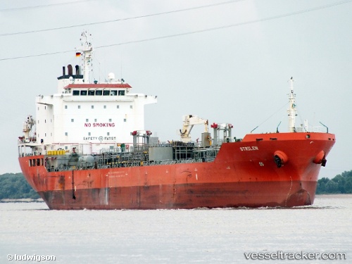
 CHEM DIDI
Current Status
Where is the vessel?
CHEM DIDI is currently in 20 nm S of Fethiye, based on AIS data received less than 1h ago.
Latest AIS update:
Current position: 36.29722° N, 29.06893° E (20 nm S of Fethiye)
Average speed (last 7 days): Loading…
Average speed (last 30 days): Loading…
Vessel profile: CHEM DIDI is a Oil/Chemical Tanker with dimensions m x m.
This page combines live AIS, route history, probable destination signals, nearby traffic, and port activity for practical vessel monitoring.
The current position of vessel CHEM DIDI is 36.29722 lat / 29.06893 lng. Updated: 2026-04-30 07:48:58 UTCNearest reference points:
- Near Fethiye
- 10 nm S of GOCEK
- Near GOCEK
Currently sailing under the flag of Turkey ![]()
Details:
Live Vessel CHEM DIDI Analytics (details, animations, etc.)
Recent AIS points (UTC):
2026-04-30 03:31:57 UTC · 36.48121, 28.07886 · SOG 12.1 kn · COG 76°2026-04-30 04:43:38 UTC · 36.51495, 28.36636 · SOG 12 kn · COG 91°
2026-04-30 07:02:09 UTC · 36.37907, 28.89932 · SOG 12 kn · COG 121°
2026-04-30 07:48:58 UTC · 36.29722, 29.06893 · SOG 12.5 kn · COG 123°