 vesseltracker.com
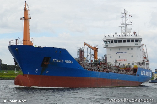
 KORD BARENTS
Current Status
Where is the vessel?
KORD BARENTS is currently in 29 nm E of Vardo, based on AIS data received about 1h ago.
Latest AIS update:
Current position: 70.44811° N, 32.52108° E (29 nm E of Vardo)
Average speed (last 7 days): Loading…
Average speed (last 30 days): Loading…
Vessel profile: KORD BARENTS is a Chemical Oil Products Tanker with dimensions 92m x 14m.
This page combines live AIS, route history, probable destination signals, nearby traffic, and port activity for practical vessel monitoring.
The current position of vessel KORD BARENTS is 70.44811 lat / 32.52108 lng. Updated: 2026-05-15 07:50:51 UTCNearest reference points:
- Near Ozerko
- 12 nm NE of Ura-Guba
- Near Ura-Guba
Currently sailing under the flag of Russia ![]()
KORD BARENTS built in 2004 year
Deadweight:
3517 tDetails:
Live Vessel KORD BARENTS Analytics (details, animations, etc.)
Recent AIS points (UTC):
2026-05-15 04:14:20 UTC · 69.96101, 33.39700 · SOG 9.2 kn · COG 329°2026-05-15 05:36:53 UTC · 70.14183, 33.07367 · SOG 9.3 kn · COG 331°
2026-05-15 07:29:53 UTC · 70.39867, 32.60984 · SOG 9.8 kn · COG 331°
2026-05-15 07:50:51 UTC · 70.44811, 32.52108 · SOG 10.3 kn · COG 332°