 vesseltracker.com
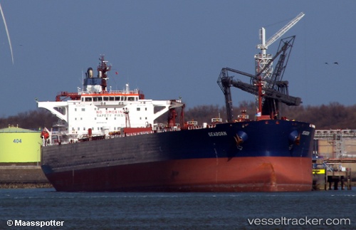
 PLUTON
Current Status
Where is the vessel?
PLUTON is currently in 114 nm S of Port Raysut, based on AIS data received about 1h ago.
Latest AIS update:
Current position: 15.09167° N, 54.40167° E (114 nm S of Port Raysut)
Average speed (last 7 days): Loading…
Average speed (last 30 days): Loading…
Vessel profile: PLUTON is a Crude Oil Tanker with dimensions m x m.
This page combines live AIS, route history, probable destination signals, nearby traffic, and port activity for practical vessel monitoring.
The current position of vessel PLUTON is 15.09167 lat / 54.40167 lng. Updated: 2026-05-15 11:15:20 UTCNearest reference points:
- 103 nm S of Port Raysut
- 106 nm S of Port Raysut
- 110 nm NE of Gross Koris
Currently sailing under the flag of Russia ![]()
Details:
Live Vessel PLUTON Analytics (details, animations, etc.)
Recent AIS points (UTC):
2026-05-15 08:26:23 UTC · 15.14833, 54.98333 · SOG 12 kn · COG -1°2026-05-15 10:04:03 UTC · 15.12999, 54.64442 · SOG 12.2 kn · COG 268°
2026-05-15 10:15:03 UTC · 15.12970, 54.60603 · SOG 12.3 kn · COG 268°
2026-05-15 11:15:20 UTC · 15.09167, 54.40167 · SOG 12 kn · COG -1°